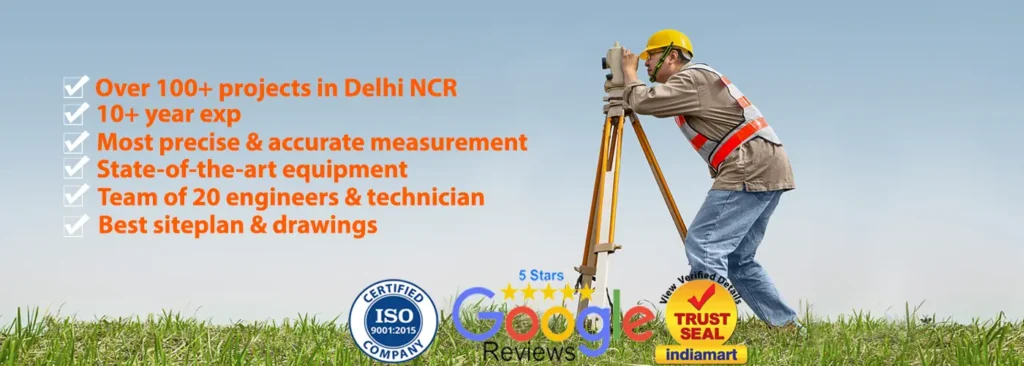
Welcome to PSES (PS Engineering Services), a trusted name in professional land surveying services. We offer accurate measurements and comprehensive insights in Land Surveyor in Delhi Ncr into property divisions, terrain, and land boundaries thanks to our years of experience and dedication to accuracy. Modern technologies and industry best practices are used by our team of certified surveyors to guarantee that every project is managed effectively and professionally. We are here to help you make wise decisions regarding your land.
What is a Land Surveyor?
A land surveyor is a trained professional who measures and maps land boundaries, elevations, and features using advanced tools and techniques. They play a crucial role in determining legal property lines, assisting with construction planning, and resolving disputes. By interpreting historical data and conducting fieldwork, surveyors ensure that all projects adhere to legal requirements and zoning regulations.
Why Do We Need Land Surveying?
Land surveying is vital for several reasons:
1.Precise Boundaries: Determining exact property lines to prevent conflicts with other landowners or neighbors.
2. Construction Planning: Providing vital information to contractors, engineers, and architects so they can plan and construct structures.
3. Legal Compliance: Ensure that every project complies with building codes, zoning laws, and other legal requirements.
4. Land division: Breaking up enormous tracts into sections for sale or development.
5. Environmental Insights: Monitoring natural features for environmental impact analyses and sustainable development
Why Choose Us?
At , PSES(PS Engineering Services), stand out from the competition because of our unwavering dedication to quality and customer satisfaction. Here’s why you should trust us:
•Expertise You Can Trust: We provide outstanding accuracy and precision in every survey because we have a staff of qualified and seasoned experts.
• Cutting-Edge Technology: We employ the newest developments in technology, such as GPS units, drones, and 3D mapping software, to produce dependable outcomes.
• Tailored Solutions: We recognize that every project is unique, so we adjust our offerings to satisfy your particular needs.
• Transparent Procedures: We guarantee there are no unforeseen costs or delays by keeping you updated at every stage.
• Reasonably priced: excellent customer service . We provide affordable prices to fit your budget.
•Timely Delivery: Time is of the essence, and we pride ourselves on completing projects within the agreed timeframe.
Frequently Asked Questions (FAQs)
1. What types of surveys do you offer?
We provide boundary surveys, topographic surveys, construction staking, land subdivision, and more.
2. How long does a land survey take?
The duration depends on the size and complexity of the project, but most surveys are completed within a few days to a couple of weeks.
3. Do I need a survey before purchasing property?
Yes, it’s highly recommended to avoid future disputes and ensure you’re aware of the exact boundaries and potential issues.
4. How much does a land survey cost?
Costs vary based on the size, location, and type of survey required. Contact us for a personalized quote.
5. Can a survey resolve boundary disputes?
Absolutely. A professional survey provides legally recognized evidence to settle disputes.
Let us help you navigate your land surveying needs with expertise and care. Contact us today to get started!
